The Severn Way
Stage three: Llanidloes to Caersws

DATE: 15th Sept 2018
DISTANCE
10.25 miles (Walked)
TOTAL SO FAR: 26.75 miles
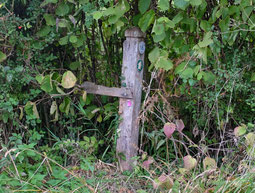
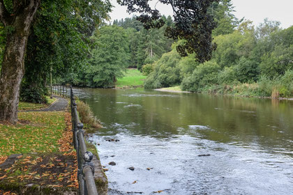
This section runs from the centre of Llandiloes to a carpark at the railway station in Caersws. The most distinctive feature of this walk is that the River Severn was only seen as we crossed the Long Bridge at the start of the walk and in glimpses (2 or 3 occasions). in the distance. We walked through woods, along roads, through pasture and sunken trackways: never by a river! The nearest we came to any interaction with water was Toby jumping into a massive, cattle drinking trough.
[Stg 1] [Stg 2] [Stg3] [Stg 4] [Stg 5] [Stg 6] [Stg 7] [Stg 8] [Stg 9] [Stg 10] [Stg 11] [Stg 12] [Stg 13] [Stg 14] [Stg 15] [Stg 16] [Stg 17] [Stg 18] [Stg 19]
ROUTE MAP STAGE 3
The A470 follows the Severn more closely than the Severn Way.
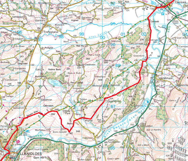
And once again the signage was in poor repair to non-existent.
Photos below are a slide show of how the walk panned out. To start, click on top left image of the group below.


