the severn way
Stage eight: Melverley to Montford Bridge
DATE: 17th August 2024
DISTANCE
9.6 miles (Walked)
TOTAL SO FAR: 72.25 miles
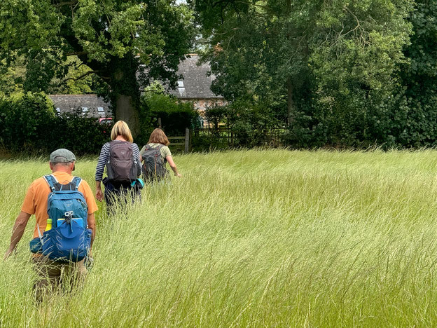
This leg was a bit different as it seemed to follow small roads for nearly the whole route. As the lanes had tall hedges, for the most part, not only were there no glimpses of the River Severn, there were very few views to see. The route was marked mainly by Severn Way emblems on telegraph poles.
Easy parking at the start of the route and good facilities at the end, with a simple cafe and toilets. The route to the picnic area at the end was a bit obscure and not well sign posted.
[Stg 1] [Stg 2] [Stg3] [Stg 4] [Stg 5] [Stg 6] [Stg 7] [Stg 8] [Stg 9] [Stg 10] [Stg 11] [Stg 12] [Stg 13] [Stg 14] [Stg 15] [Stg 16] [Stg 17] [Stg 18] [Stg 19]

ROUTE MAP STAGE 8
This was a very easy route to follow and proved to be pretty problem free as it was essentially NCR 81 from Melverley to Montford. There were short cuts across a couple of fields creating a some change of terrain. In fact the car journey, from leaving one car a Montford Bridge picnic area to Melverley, was practically the same last the one we walked along.
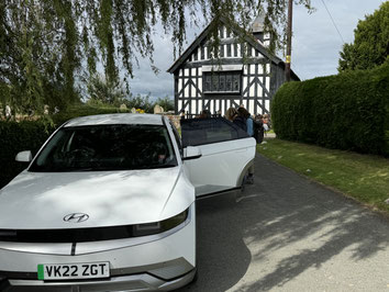
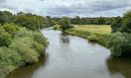
Photos below are a slide show of how the walk panned out. To start, click on top left image of the group below.


